Last Updated on 12th August 2020 11:29 AM by AfriWX
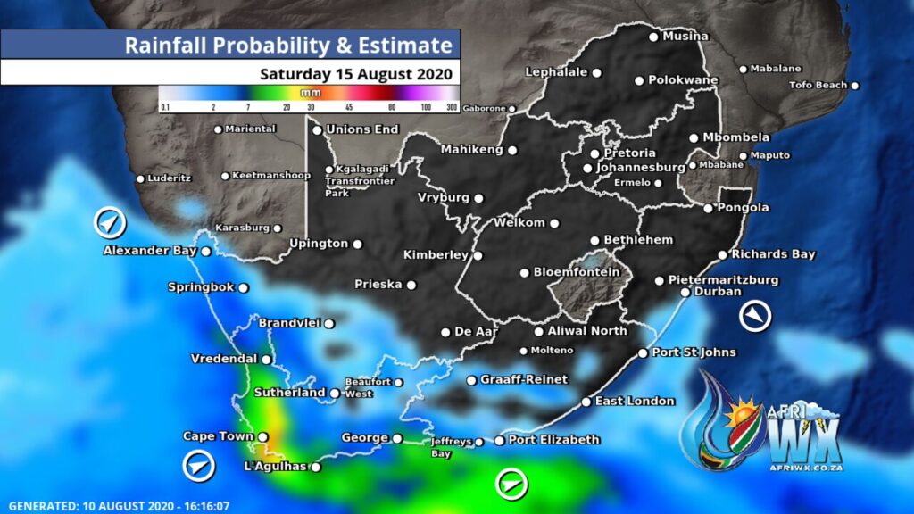
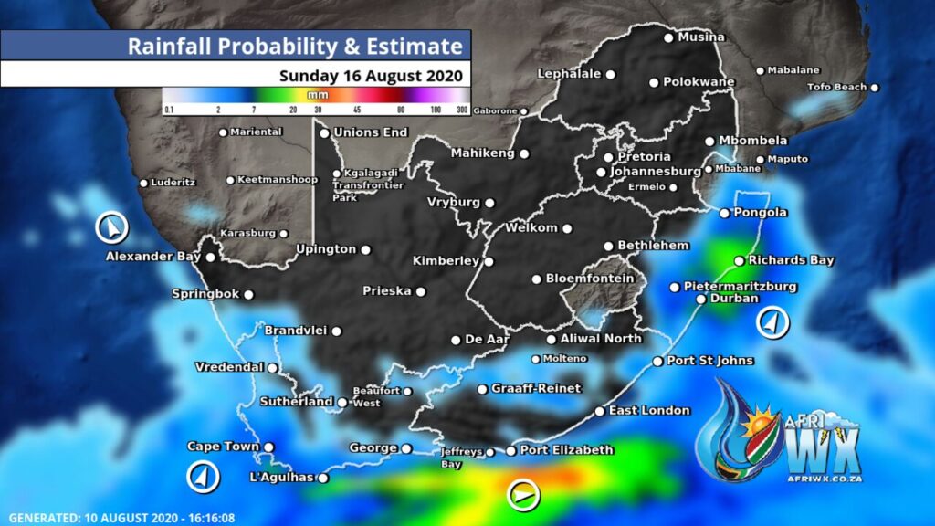
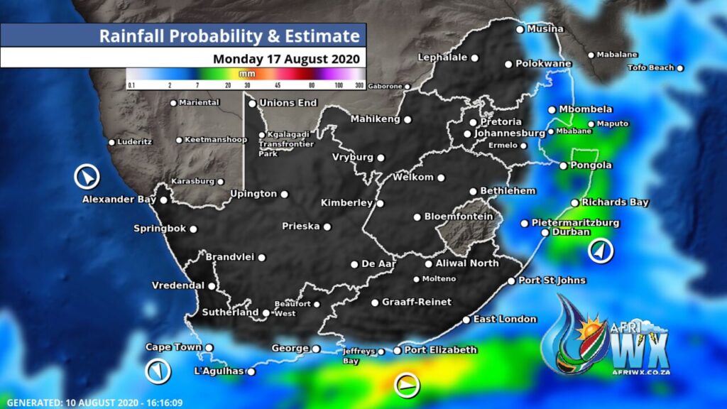
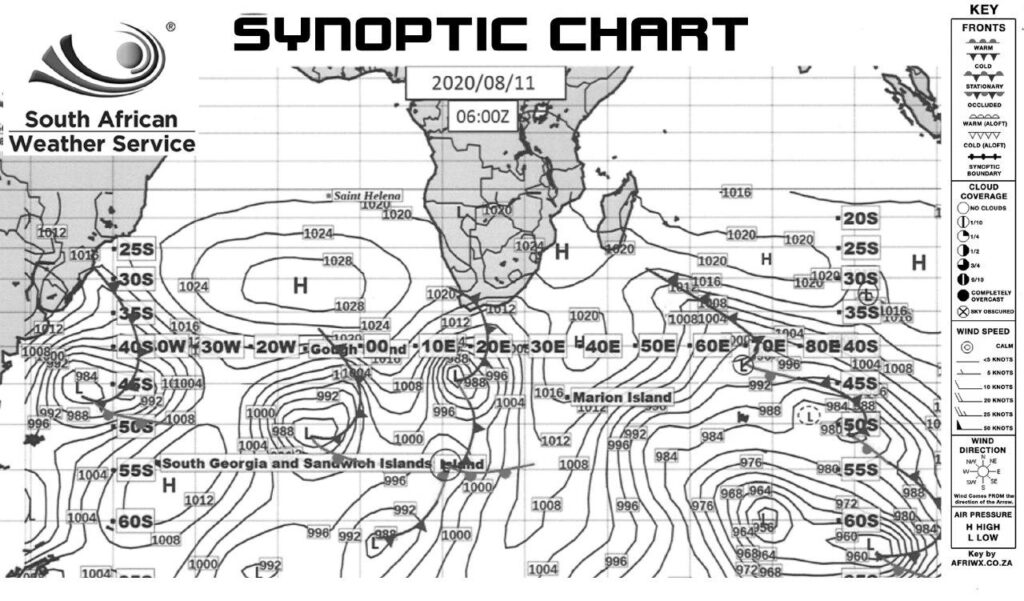
The first of another 3 Cold Fronts made landfall today bringing some more welcome rainfall to the Western Cape.
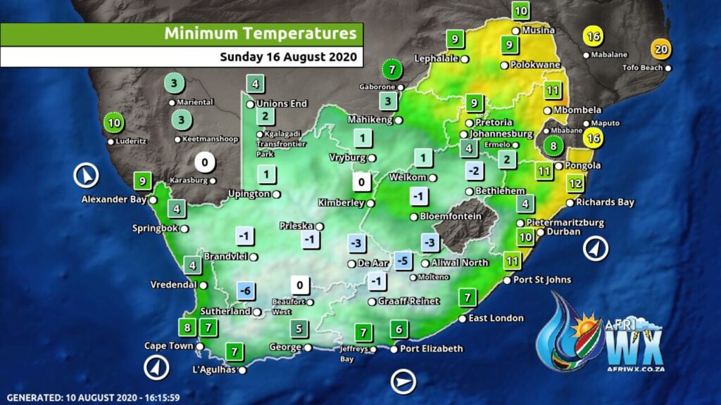
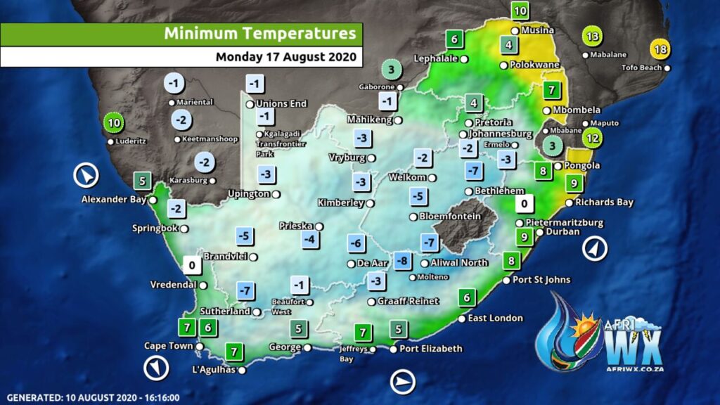
Another 2 cold fronts are expected to make landfall over the next few days with a much stronger cold front arriving this weekend bringing with it some heavier rainfall, snow in parts and also a very cold snap for most of the country.
As these are extended forecasts they are subject to change but so far the weather models are remaining positive for us.
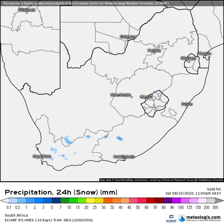
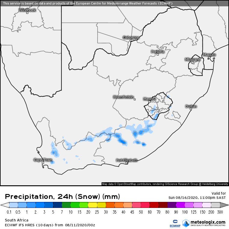
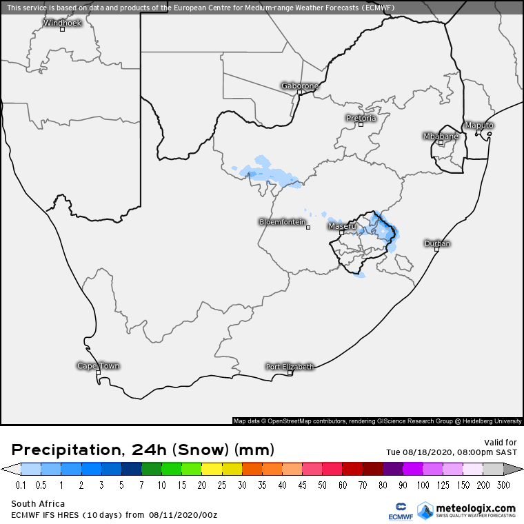
Another system arriving next week looks to be promising to bring some snowfall into the interior of the country as can be seen in the snowfall maps lower down.
If this system stays on track we could see some snow falls across the North West province, Free State, Mpumalanga and possible even Gauteng. It’s too early to confirm but we are monitoring this and will keep you updated.
Stay safe and stay Warm.
Join our AfriWX Telegram Weather Group
Don’t forget to join the free AfriWX group on Telegram Messenger, please download Telegram for Android or iPhone if you want to always be up to date with the latest weather maps.
Click to join our Telegram Group
