Last Updated on 10th July 2020 9:37 AM by AfriWX
The #coldfronts have arrived in force with the first of 3 fronts having made landfall today and the bigger front still expected tomorrow.
This amazing satellite airmass animation shows the development of the cold front since Wednesday afternoon 8 July 2020.
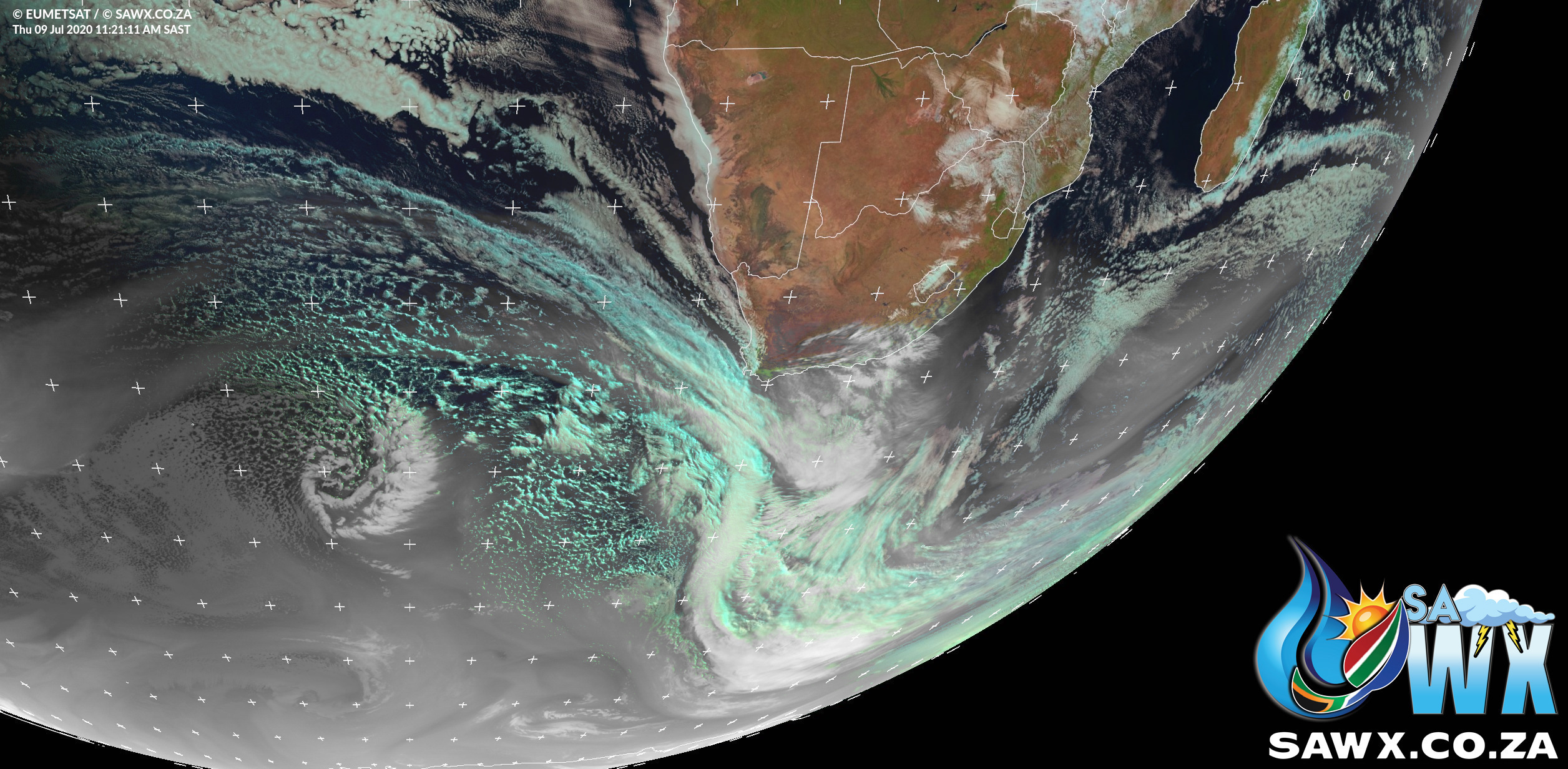
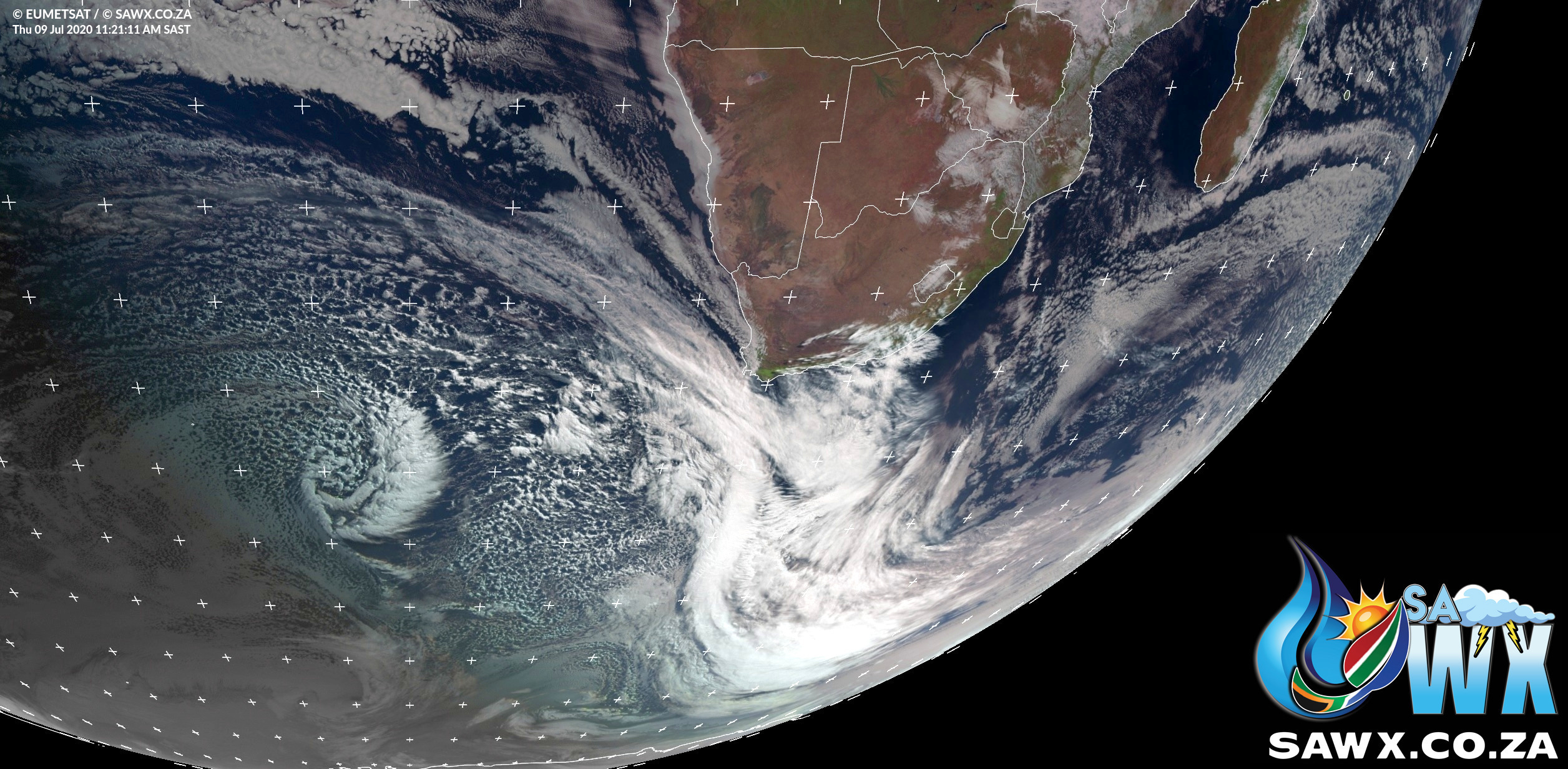
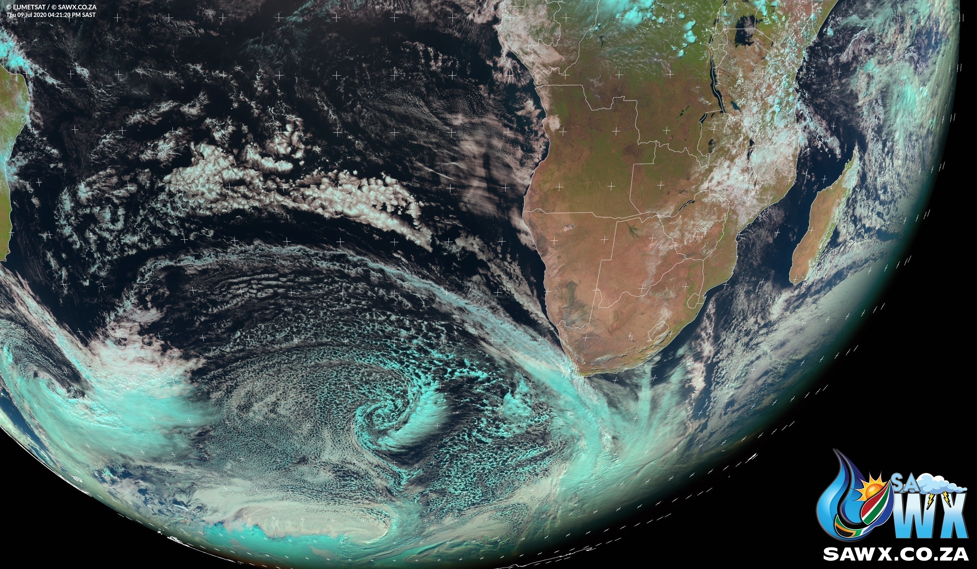
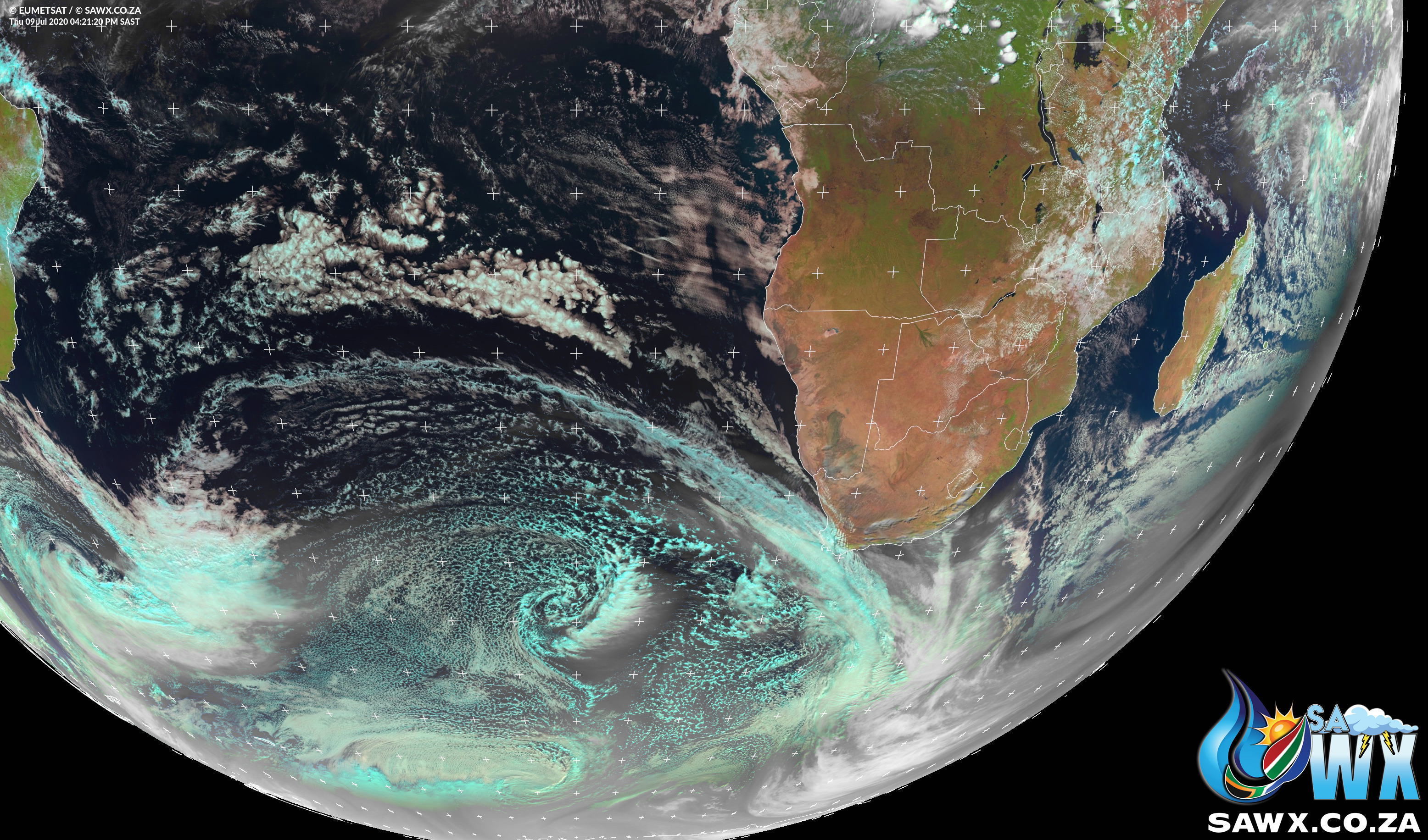
We have also been treated some some spectacular satellite images today of the majestic cold front sweeping in and making landfall.
These are some of the bigger cold fronts seen in many years which have pushed up further North than past years and will bring heavy rain and widespread snowfall to many parts of South Africa.
We leave this post here with nothing more than some spectacular satellite images of Mother Nature at work.


